
“Barry”—The 3-hour Hurricane
Starting around 06 July as a “Disturbance” in Tennessee, Barry meandered Southeast into the Gulf of Mexico, then turned West, becoming a “Depression”, and then turning North, slowly reached “Tropical Storm” status, finally reaching “Hurricane Category 1" as it came ashore near Intracoastal City, LA. a week later.
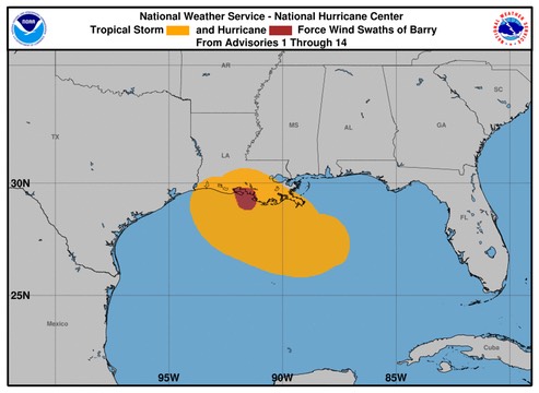
Designated as a hurricane for a scant three hours, Tropical Storm Barry was lashing the coast of southern Louisiana with storm surge and high surf on Saturday afternoon. Barry's biggest impacts are still to come—the torrential rains expected to move ashore and intensify later Saturday over parts of southeast Louisiana. Update (2 PM EDT): In an advisory at 2 pm EDT, the National Hurricane Center announced that Barry was making landfall near Intracoastal City, LA, with top sustained winds of 70 mph. Barry's center was located at 29.8°N, 92.1°W, at 2 pm EDT, and the storm was moving northwest at just 6 mph. In a tweet, NHC reported that Barry made landfall as a hurricane, presumably shortly before 2 pm, although no specific landfall time was given.
Barry was upgraded to minimal hurricane status at 11 am EDT Saturday, with top sustained winds of 75 mph. Barry's winds were estimated in the 69-75 mph range by the NEXRAD Doppler radar at Slidell, LA, and a station at Eugene Island reported sustained winds of 71 mph with a gust to 85 mph. Near this location, a reconnaissance flight also detected winds in the 69-73 mph range from the Stepped Frequency Microwave Radiometer. "Based on these data and the possibility that the strongest winds were not sampled, it is estimated that Barry became a hurricane around 11-12Z despite its less than classical appearance in satellite imagery," said forecaster Jack Beven in NHC's 11 am forecast discussion.
/fl