
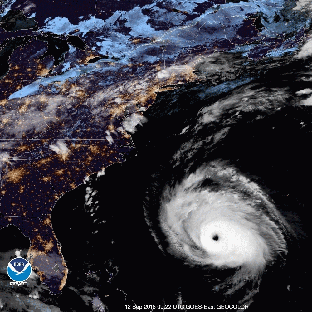
Florence
Florence will reach the southern coast of North Carolina on Thursday night as a very dangerous major hurricane. It now looks increasingly possible that Florence will stay near the coast (either inland or just offshore) for a day or longer, perhaps moving southwest along the coast. In this case, the coastline north of the center could experience storm surge during at least two 12-hour tidal cycles, rather than just one, and at least some surge could spread southwest with Florence. Florence’s track beyond Friday is still subject to major change as the weak steering currents evolve...
Surge flooding may push well inland through rivers across the coastal plain of North Carolina. As Florence’s rains pile up, inland flooding will become an increasingly serious threat. Referring to the expected rainfall totals, NHC warned: “This rainfall would produce catastrophic flash flooding and significant river flooding.”
Florence is a historic storm. Its strength, size, and potentially unorthodox track all point to outcomes that may lie outside historical experience…. it’s entirely possible that Florence might become a Category 5 for at least a few hours on Wednesday. If so, it will enter the history books as the northernmost Category 5 on record.
A very dangerous system with high potential for the history books! There has been plenty of warning, so let’s hope and pray that everyone in the path of this thing has made wise decisions.
/fl